Shuttle – High-Precision GNSS/INS Trajectory Processing Software for Aerial Photogrammetry
Trajectory Processing Solution Comparable to Inertial Explorer and POSPac
Shuttle is a high-precision GNSS/INS post-processing software independently developed by Wuhan Geosun Navigation Technology Co., Ltd. It integrates multi-constellation GNSS (GPS, GLONASS, BeiDou II, Galileo) and inertial navigation data to deliver centimeter-level positioning, millimeter-per-second velocity, and milliradian attitude accuracy for dynamic platforms.
At the core of Shuttle is the proprietary GGPoS engine, a high-precision positioning and velocity processor capable of handling both single- and dual-frequency GNSS data. It supports standalone GNSS processing as well as GNSS/INS integrated solutions.
Core Advantages
-
Single-Epoch Ambiguity Resolution
Adopts a globally leading algorithm to eliminate initialization delays, enabling rapid, stable performance in complex environments.
-
High-Order Kalman Filtering
Effectively fuses GNSS carrier-phase and IMU data to provide accurate and reliable trajectory solutions.
-
IMU Compatibility & Flexibility
Supports both incremental and rate-type IMUs with configurable random error models, adaptable to a wide range of IMU accuracy levels.
-
Enhanced Dynamic Representation
Compared to GNSS-only post-processing, GNSS/INS fusion captures richer motion dynamics with higher accuracy and reliability.
-
Localized Optimization
Optimized for the needs of Chinese users, with performance exceeding many comparable international solutions such as Inertial Explorer and POSPac in several key aspects.
Application Scenarios
Shuttle is widely used in high-precision motion and mapping applications, including:
Its modular architecture allows for strong scalability, custom feature integration, and support for flexible deployment in various engineering environments.
Free Software for Testing-Document Overview:Trial Software Information
Click here to watch the video:Positioning Altitude Aerial Photogrammetry Trajectory Process Software
Trajectory Process

Select the Satellites and GNSS Date Decode (the .kqs file to .20o file)


The GNSS results from Shuttle (kinematic Differencial GNSS)


The GNSS/INS Integration results from Shuttle


Camera Trigger Event

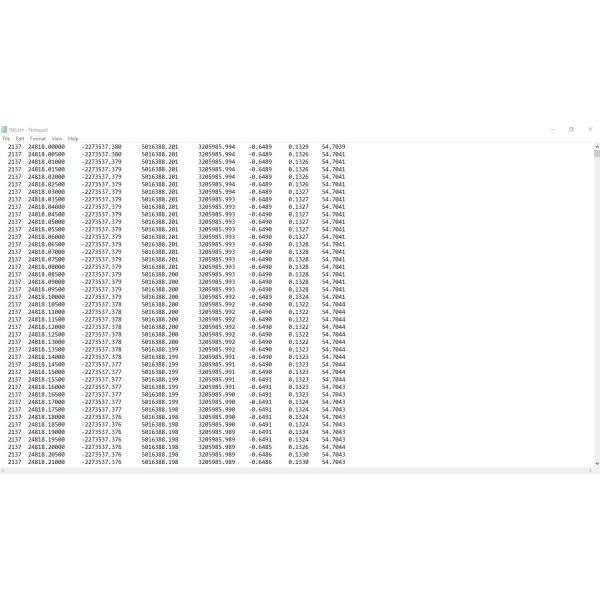
INS Result
Product Tags:

|
|
Shuttle Software –Positioning Altitude Aerial Photogrammetry Trajectory Process Software Images
|


